Museum based
WWII Museum tour
The war in Gdańsk, with the museum
- Length2 - 4 hours
- MeetsPilecki monument
- Guides8 languages
Pick out your stop
The quick version
Westerplatte is a peninsula in Gdańsk at the mouth of the Dead Vistula on the Gulf of Gdańsk, where the League of Nations let Poland keep an arms depot and a small garrison inside the Free City.
Good to know
Browse 37 stops
Select a route, then tap a marker or stop to see its note and open Google Maps.
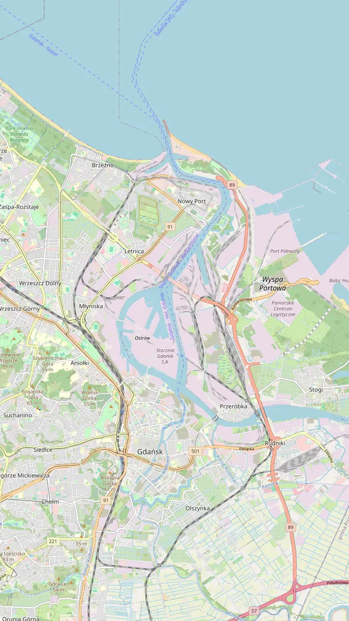
A peninsula 2 km long and 200 to 500 m wide between the Gulf of Gdańsk and the Dead Vistula.
Google MapsAttacked at 4:45 AM on 1 September 1939, the same moment the shelling of Westerplatte began.
Google MapsHeart of the Free City of Gdańsk, created on 15 November 1920 under the League of Nations.
Google MapsThe port district across the canal from the depot, where German reporters watched the fighting.
Google MapsThe parent museum; its Westerplatte branch is building a new museum on the peninsula.
Google Maps
Buses 138 and 606 to Westerplatte start here (606 in summer only).
Google MapsBus 106 to Westerplatte starts at the Museum of the Second World War stop.
Google MapsQuay for the Żegluga Gdańska boats that land at Westerplatte; the 10:00 sailing arrives at 10:40.
Google MapsEnd of the bus lines at the ferry terminal; on 1 September the special buses arrive here before dawn.
Google MapsInformation, guides and the only car park on the peninsula; open 9:00-16:00 every day.
Google MapsE-bikes, racks and a repair stand by the Visitor Centre; about 10 km and up to 40 minutes from the centre.
Google MapsWhere the boats from the Green Gate quay tie up; the walk to the monument starts here.
Google Maps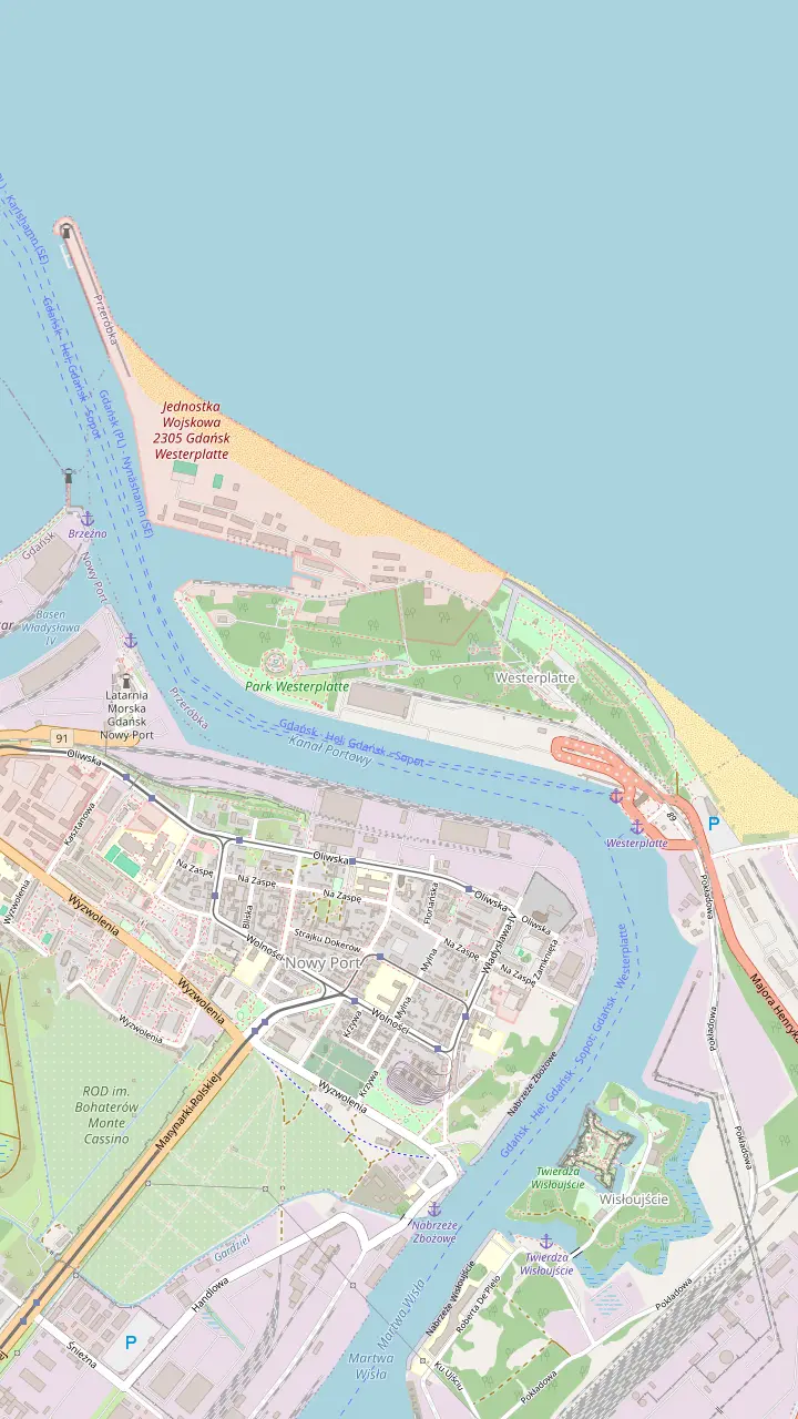
The guardhouse that kept the Germans off the base of the peninsula and the canal; Warrant Officer Jan Gryczman commanded about 15 men here.
Google MapsGuardhouse III was built as combat cabins in the cellar of the NCO villa; its remains are marked by an information board.
Google MapsThe artillery command post of 1911 became the Fort outpost in 1939; in November human remains were found beside its shelter.
Google MapsDestroyed in the air raid of 2 September 1939; its commander, Platoon Sergeant Adolf Petzelt, died inside.
Google MapsCommand post, dressing station, radio room and shelter in 1939; the ruin is kept as a reminder of the war's brutality.
Google MapsBuilt from 25 May 1926 and outside the defence plan, it came through September 1939 almost intact.
Google MapsFrom this side of the canal German reporters watched the fighting and radioed it live.
Google MapsThe depot's walls ran along the canal and the base of the peninsula; the railway gate is a reconstruction.
Google MapsRemains of the depot's ammunition stores; 2 stores survive on land the army still uses.
Google Maps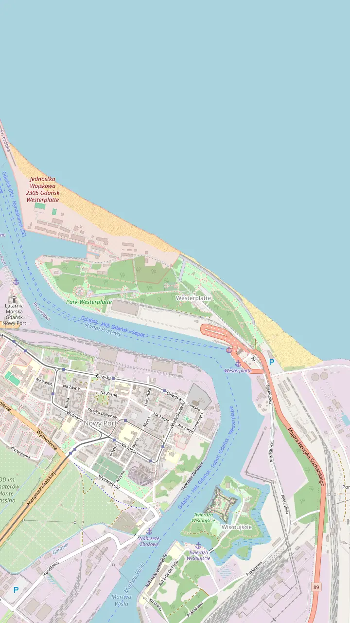
Unveiled on 9 October 1966: 25 m of granite in 236 blocks on a mound 22.5 m high.
Google MapsOpened in 2022 beside the site of guardhouse V, with steles for all 15 fallen and white roses where remains were found.
Google MapsAt the entrance to the peninsula: information, guides, a cafe and the only car park; open 9:00-16:00 daily.
Google MapsFinds from the battlefield and the later prisoner camp, in the depot's power plant at Sucharskiego 84.
Google MapsUncovered by the museum's archaeologists; Platoon Sergeant Petzelt was first buried beside the villa.
Google MapsThe NCO mess began life as the spa house of the old seaside resort.
Google MapsPlaced above the cemetery mound in 1962 in place of the Dąbrowski cross, and moved away in summer 1989.
Google Maps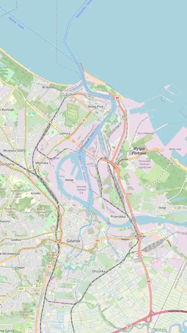
Boats of Żegluga Gdańska to Westerplatte leave from the quay by the Green Gate and the Green Bridge.
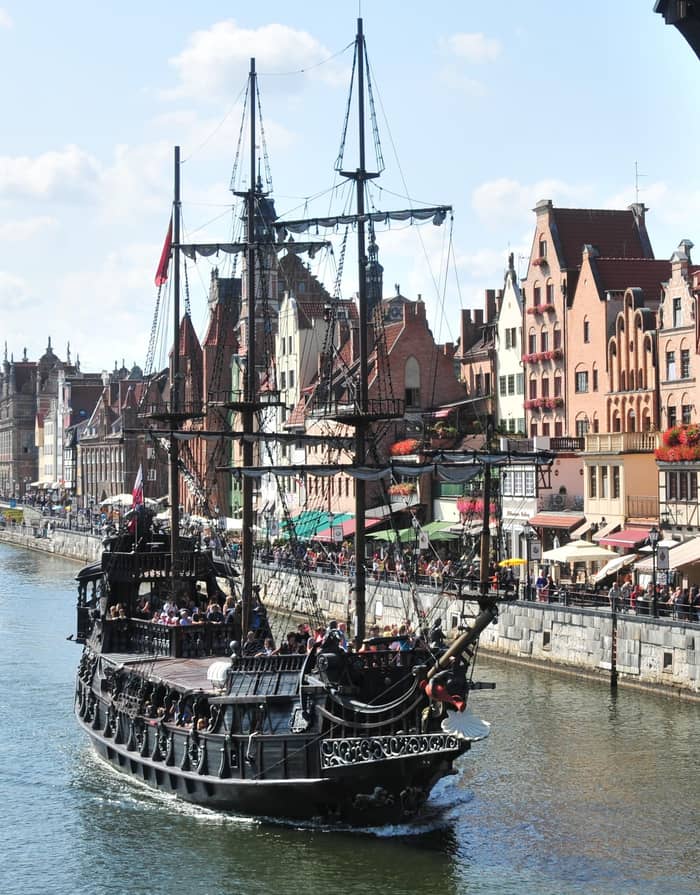
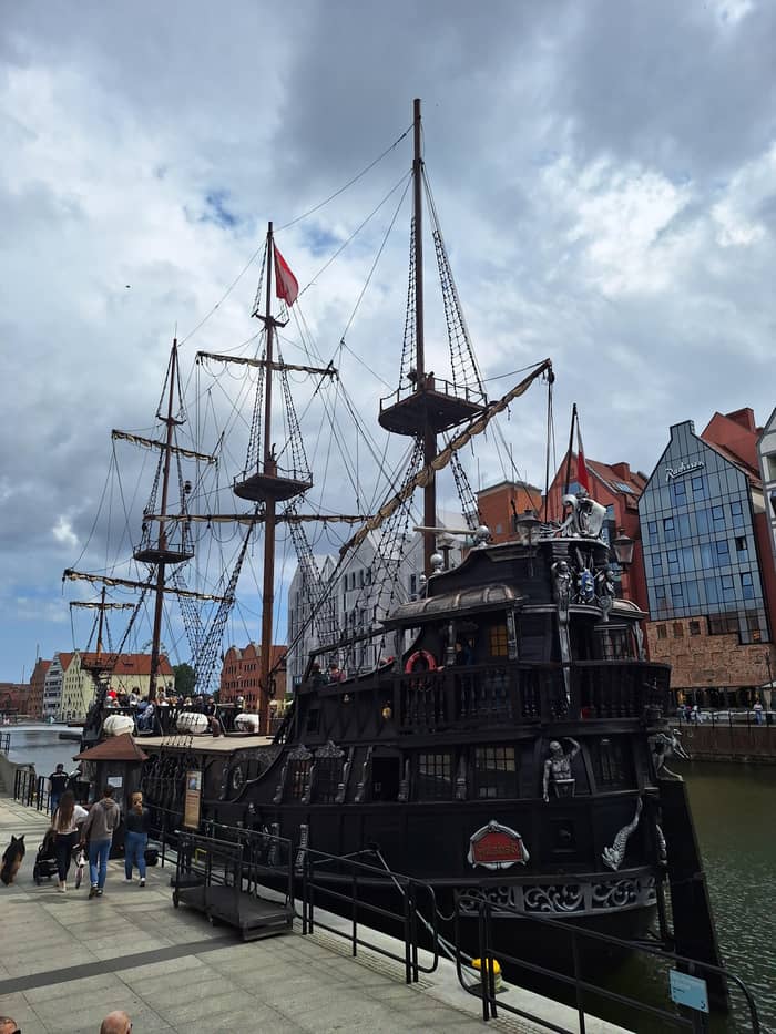
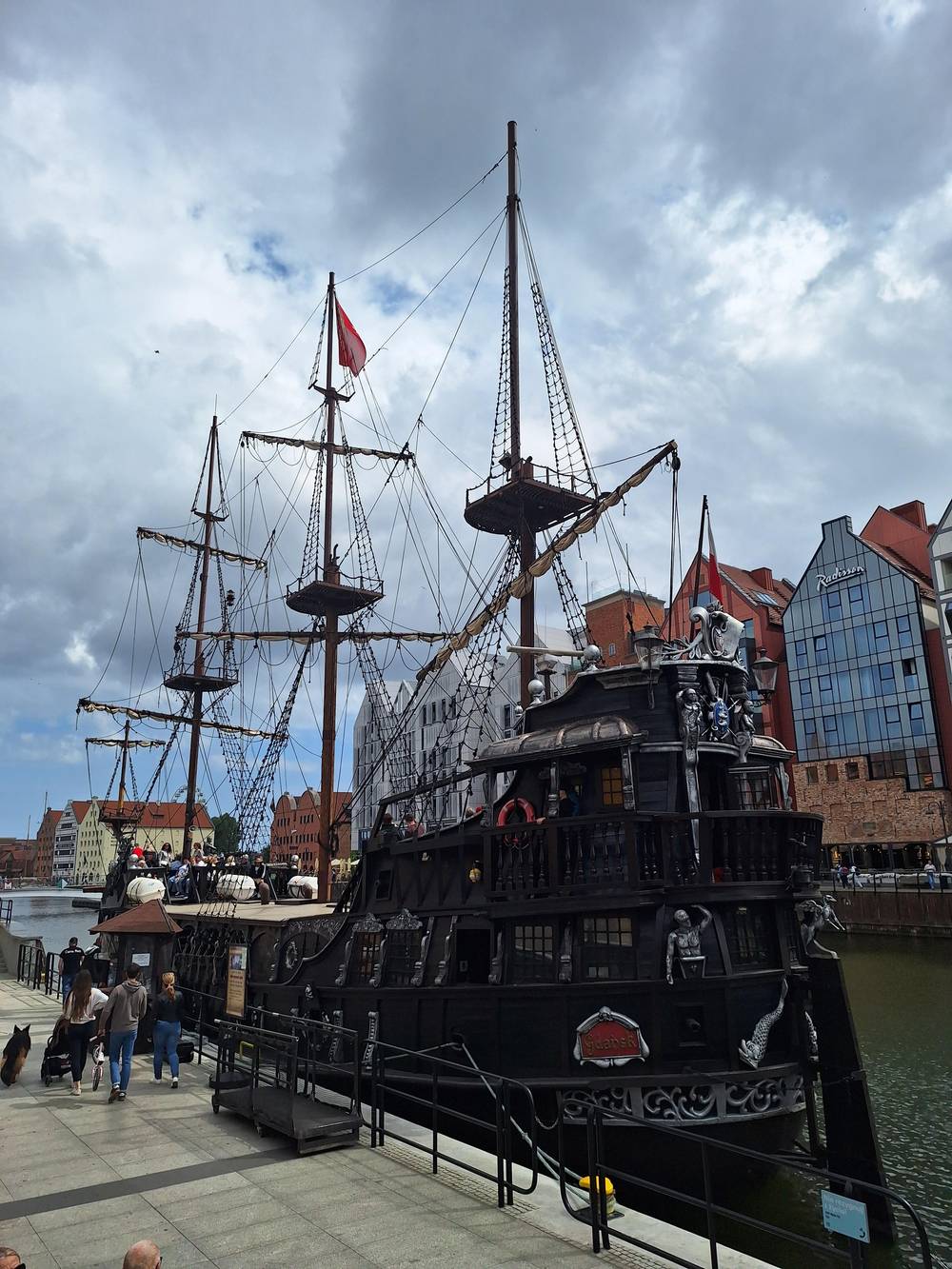
Google MapsThe Motława quays where the galleon-style ships Lew and Czarna Perła tie up.
Google MapsThe mid-15th-century city gate and port crane on the Motława.
Google MapsThe island of old granaries across the Motława from the Long Embankment quays.
Google MapsThe galleons pass the Gdańsk Shipyard and the Renovation Shipyard on the way out.
Google MapsThe oldest coastal fortress of the Polish seacoast, once also a lighthouse and a prison.
Google MapsAcross the canal from Westerplatte, near where the Schleswig-Holstein moored 150 m from the peninsula.
Google MapsLanding for the boats that call at Westerplatte; the galleon round trips do not stop here.
Google MapsSeen from the water as the galleon loops the peninsula; 25 m of granite on its mound.
Google MapsBase map © OpenStreetMap contributors
Where is Westerplatte? At the mouth of Gdańsk's port canal. How a spit of sand became a resort, then a Polish enclave in the Free City of Danzig, explains the war that began there.
Editorial team, westerplattecruise.click · Updated November 9, 2026 · 7 min reading time
In brief
Who decided what
| Date | Body | Decision |
|---|---|---|
| 15 November 1920 | League of Nations | Free City of Gdańsk constituted |
| 22 June 1921 | League Council | Poland given the land defence of the Free City |
| 14 March 1924 | League of Nations | Westerplatte granted for a transit depot |
| 31 October 1925 | League Council | 60 ha leased, free and perpetual |
| 1925 | League Council | Guard of 88 soldiers allowed |
| February 1933 | Free City Senate | Harbour police disbanded |
From the City of Gdańsk, the National Heritage Board and the defence ministry's magazine.15,28,16,17,29,30
Plan your day
Pick what fits the time you have in Gdańsk.
If I want the big picture
Start at the WWII Museum
A guided museum tour covers the war in Gdańsk in 2 - 4 hours.
If I want to see the harbour mouth
Take the galleon loop
The cruise passes the port and Wisłoujście Fortress to Westerplatte.31
If I want the depot's daily life
See the power plant exhibition
It traces the site from the 17th century up to the early 1940s.32
If I want both sites attacked that morning
Pair Westerplatte with the Polish Post
The education ministry dates both attacks to 4:45 AM that morning.33
If I like to cycle
Ride out on the bike route
About 10 km, up to 40 minutes one way, with racks at the Visitor Centre.2
Tours with the context
Museum based
The war in Gdańsk, with the museum
Private
Westerplatte and the Polish Post
From the water
Past the port and the fortress
Price your day
Pick an option, then enter the number of travellers.
Compare 3 side by side
Pick an option, then enter the number of travellers.
≈
View≈
View≈
ViewThese from-prices come from GetYourGuide and are converted using the ECB reference rate; the exact price shows at checkout.
Before the war
1734
An expeditionary corps tries to relieve Gdańsk.13
1843
A causeway links the island to the mainland.14
15 November 1920
Created under the League of Nations.15
14 March 1924
Westerplatte granted to Poland for a depot.16
31 October 1925
60 hectares, free and perpetual.17
18 January 1926
Landed on the peninsula from ORP Mewa.18
Video
Look Back History on YouTube · The video stays unloaded until you press play.
The army's presence on Westerplatte had a significant prestige dimension. It underlined Polish rights to Gdańsk and to a presence on this part of the coast.
Before you go
FAQ
They landed from the minesweeper ORP Mewa and began guard duty 2 days later.18
The museum's bike route is about 10 km and takes up to 40 minutes one way.2
Sources
Continue reading
Heading out to Westerplatte? Ask a real person here.